
Reading Coastal Path Maps Before You Set Off

Start With the Scale, Not the Route
Before you trace a line along the coast, check what the map is actually telling you. The 1:25,000 explorer-style sheets most coastal walkers carry show 4cm for every kilometre on the ground. That matters more than it sounds. A bay that looks like a gentle afternoon stroll on the page can be three miles of shingle and two steep climbs. At 1:50,000 the same bay shrinks to half the size, and the little zig-zags that mean a stepped descent disappear entirely.
So pick your scale for the day, not for the shelf. If your route hugs the cliffs, crosses a tidal causeway or drops into a cove, take the 1:25,000. Keep the smaller-scale map folded in your bag for the wider picture — villages, bus routes, the nearest inland road — but don't navigate from it near the edge.
Footpath Markers and What They Really Promise
Rights of way are usually drawn as green dashes, with small variations of symbol separating a footpath from a bridleway or a byway. That distinction is not decoration. A footpath is for walking. A bridleway carries horses and often bikes. Where a route is shown as a permissive path, the landowner has allowed access voluntarily — and can close it, sometimes at short notice.
The most important thing to understand is that the map shows a legal line, not a maintained surface. A green dash across a field means you may walk there. It does not mean the stile is intact, the footbridge survived the winter, or the farmer left a gap in the electric fence. Expect to find waymark discs and acorn symbols on the ground for national trails, and trust those when they differ from your folded paper.
- Green dashes: public right of way — check which type
- Black dashes: other paths, often permissive or informal
- Acorn waymarks: national trail alignment, usually well signed
- Fingerposts at junctions: the legal confirmation, always worth a glance
Access Land and Where You May Legally Wander
On many coastal maps you'll see a pale wash — often orange or cream — covering headland and clifftop. That is open access land, and it generally means you may roam off the path. It is genuinely liberating, and it is also where people get into trouble, because access land boundaries are not always walls.
Look for the boundary line and any exclusion markings inside it. Temporary restrictions appear for ground-nesting birds, livestock, forestry work or military ranges, and they are almost always signed on the ground. Where a sign contradicts your map, the sign wins. Gates marked as private, fences with no stile, and fields of standing crop are all clear instructions. Access land is a right to wander, not a right to trample.
Cliffs, Tides and the Details Maps Whisper
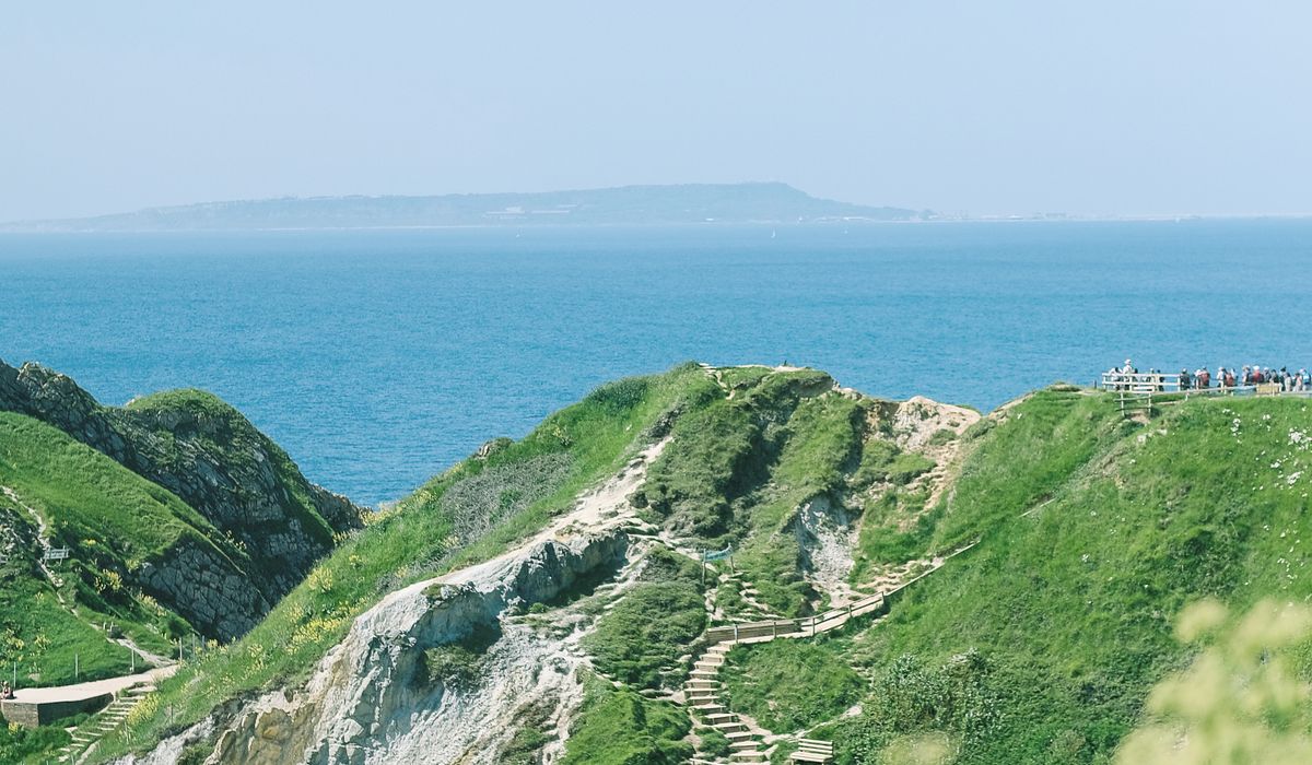
Contour lines bunching tight against the sea tell you the cliff is steep — and coastal erosion means the edge on the map may now be several metres inland of where you're standing. Never navigate to a mapped clifftop viewpoint; navigate to the path and enjoy the view from there.
Tidal detail deserves real attention. Causeways to islands, stepping stones across estuaries and beach routes around headlands are all marked with the same quiet symbols, and the sea does not read the legend. Note the high-water mark, any "beach at low water" notation, and how far the route sits from an inland alternative. If the map shows a stream crossing the sand, assume it will be deeper and faster than it looks.
Plotting Escape Routes Before You Need Them
This is the habit that separates a pleasant day out from an unplanned epic. Before you set off, scan the whole route and note every point where the coast path meets a road, a village, a car park or a bus stop. Mark them. Those are your exits.
- Note the grid reference of your start and of each escape point
- Identify the point of no return on any tidal or cliff section
- Check whether an inland lane offers a shorter, flatter bail-out
- Confirm the last exit before the remotest stretch, and the next one after
Write those references on paper, not just in your head. If someone has to come and find you, a grid reference is worth more than a description of a nice bit of coastline near a big rock.
Paper, Phone and a Plan That Outlasts a Dead Battery
Digital maps are superb for planning and for the zoomed-in reassurance of "yes, that's the stile". They are less reliable in a force seven with wet hands and 12% battery. Take the printed sheet in a waterproof case, take a compass, and keep the phone warm and offline-tiled as your backup rather than your primary.
Then do the last thing before you leave the car: read the map backwards. Start at the finish and trace home, checking each junction, each escape point, each tidal section in reverse. It takes five minutes and it turns a map from a piece of paper into a plan — which is exactly what coastal walking asks of you.

Joeby Ragpa
This template is so awesome. I didn’t expect so many features inside. E-commerce pages are very useful, you can launch your online store in few seconds. I will rate 5 stars.
ReplyAlexander Samokhin
This template is so awesome. I didn’t expect so many features inside. E-commerce pages are very useful, you can launch your online store in few seconds. I will rate 5 stars.
ReplyChris Root
This template is so awesome. I didn’t expect so many features inside. E-commerce pages are very useful, you can launch your online store in few seconds. I will rate 5 stars.
Reply